Scanning Services / Reality Capture

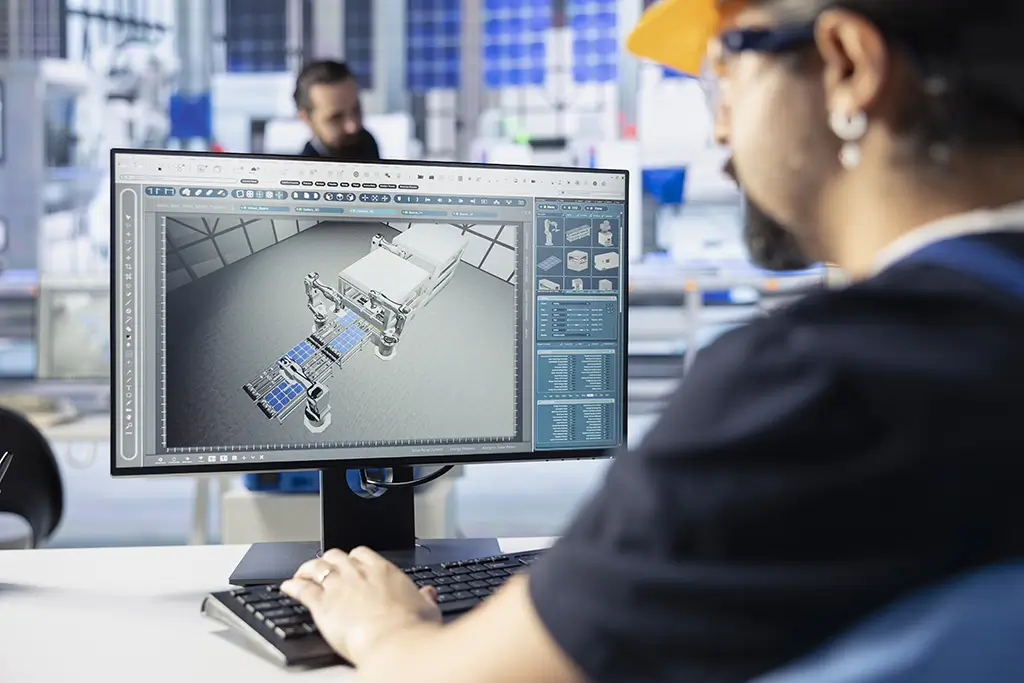
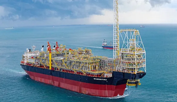
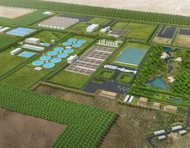
At Conserve Solutions, we offer advanced 3D Laser Scanning Services that transform how large-scale AEC projects are planned, executed, and managed. By leveraging reality capture, visualization, and data intelligence, we empower engineers, architects, and contractors to work with confidence and clarity.

Scanning & Scan-to-BIM Services

What We Do

Conserve specializes in the deployment of the latest 3D laser scanning technologies, delivering high-accuracy proximity data essential for:

Field Measurements

As-built Documentation

Clash-free Modeling

Our scanning services ensure comprehensive as-built capture without disrupting ongoing site operations, significantly reducing documentation time and improving model accuracy.

Key Features of

Our 3D Scanning Service

Scan to BIM Workflow

Applications

Buildings: Architecture, Structural, MEP, and utilities

Infrastructure: Roads, bridges, metro stations, tunnels

Urban Planning & Smart Cities

Facilities Management & Asset Mapping

Industrial Plants & Power Stations

Oil & Gas: Offshore platforms and vessels

Renovation & Heritage Conservation

Animated walkthroughs can be created from point cloud models for stakeholder presentations.
Smart Laser

Mobile Measurement Solution

Conserve also offers Smart Laser Measurement – a quick, mobile-based solution for:

Measuring building facades, heights, widths, and distances

Capturing GPS/GNSS locations

Taking photo-based measurements via smartphone or tablet

Accuracy:

- Rangefinder: ±5cm - Photo Measure: ±1% - Point-to-Point: ±3%

Compatible with: AutoCAD, Revit, ARCHICAD, ArcGIS, Adobe Illustrator, CorelDraw, and more.

Benefits of

3D Laser Scanning over Conventional Methods

Our drafting services help you:

Up to 10x faster data capture

Reduced site visits – all data captured in one go

Improved accuracy and fewer clashes

Shorter project lifecycle

Supports off-site fabrication and retrofits

Minimal facility downtime

Real-time access to as-is conditions

Cost-effective with optimized manpower and time

Why Choose

Conserve Solutions?

High Client Satisfaction

Quality, consistency, and reliability

Cost-Efficiency

Reduced rework, optimized budgets

Collaborative Approach

We partner closely with clients throughout the lifecycle

Proven Track Record

From small retrofits to mega infrastructure projects
Frequently Asked Questions

FAQ's

Scan to BIM is the process of capturing 3D data from existing structures and converting it into an intelligent BIM model.

It reduces design errors, minimizes rework, improves coordination, and ensures project timelines are met.

We use LiDAR, 3D laser scanners, photogrammetry, and structured light scanners.

Scanning → Point Cloud Generation → 3D Model Creation → Integration with BIM

Scanning → Point Cloud Generation → 3D Model Creation → Integration with BIM

Get in Touch

Have Any Other Questions?