Geospatial Services

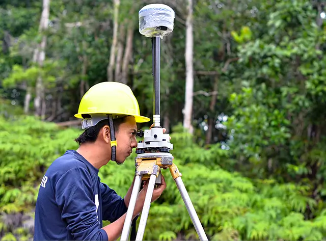
Conserve Solutions offers a comprehensive range of Geospatial and Photogrammetric Services that support planning, design, asset management, and infrastructure development. Our services are built on the foundation of accuracy, speed, and cost-effectiveness. Leveraging Advanced technology and an experienced team, we deliver high-quality mapping and spatial analysis solutions across multiple geographies.

Services We Provide

Our Drafting Services cover:

Key Benefits

Our drafting services help you:

High-Precision Mapping

Accurate 2D/3D outputs for planning, asset tracking, and design

Digital Twin Integration

Enhanced monitoring and simulation of physical environments

Customized Deliverables

Contours, orthophotos, and maps tailored to client requirements

Cost and Time Efficiency

Optimized workflows and proven savings on large-scale projects

Visual Clarity

3D visualization and terrain rendering for easy interpretation

Legacy Map Updates

Integration of new infrastructure into existing datasets

Global Delivery

Proven capabilities in diverse terrains and geographies
Why Work

with Conserve Solutions?

Domain Expertise

Experienced team in geospatial analytics, digital photogrammetry, and GIS development

Technology-Driven Approach

Use of advanced software and tools for accuracy, automation, and visualization

Pan-Geography Experience

Successfully delivered topographic maps and GIS solutions worldwide

Rigorous Quality Control

Multi-stage QC process ensuring reliable, high-fidelity deliverables

Significant Cost Savings

Proven track record of reducing mapping and GIS project costs for clients

All-in-One GIS Partner

From data capture to terrain modelling and document production — all under one roof
Frequently Asked Questions

FAQ's

Our services support industries such as urban planning, utilities, construction, transportation, energy, and government bodies.

Yes. We have experience working in diverse geographies and can deliver anywhere globally.

We offer high-definition topographic maps with scales up to 1:100000 and use advanced techniques to ensure precise elevation data.

Yes. We can deliver water-resistant printed topographic maps suitable for field use.

We deliver in industry-standard formats including DWG, DXF, GeoTIFF, SHP, KMZ, and PDF depending on client requirements.
Get in Touch

Have Any Other Questions?