- Inspire
- Innovate
- Integrate
Bridging the Gap Between Design and Geospatial Intelligence
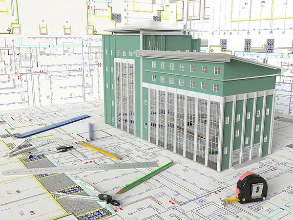
At Conserve Solutions we specialize in integrating Geographic Information Systems (GIS) with Building Information Modelling (BIM) to unlock smarter, more connected project insights. Our GIS for BIM services help you enabling advanced decision-making for urban planning, infrastructure development, asset management, and digital twin initiatives.
Our Core Services
Our Drafting Services cover
CAD to GIS
We convert traditional 2D CAD drawings into intelligent geospatial datasets. Our service includes:
- Georeferencing legacy CAD files
- Layer mapping and data attribution
- Integration into GIS platforms like ArcGIS or QGIS
- Enabling spatial analysis and asset tracking for your legacy designs
BIM to GIS
Transform detailed BIM models into GIS-compatible formats for city-scale visualization, lifecycle management, and public sector compliance. We support:
- Exporting Revit/IFC models to GIS formats (e.g., ESRI geodatabase, shapefiles, 3D Scene Layers)
- Maintaining spatial accuracy and metadata integrity
- Enabling asset monitoring and facility management on geospatial platforms
Scan to GIS
Using laser scanning or photogrammetry, we help you generate geospatially accurate models from reality capture:
- Processing point clouds into GIS-ready data
- Converting as-built scans into usable spatial layers
- Linking site conditions with GIS for planning, safety, and historical preservation
Industries We Serve
Urban Planning & Smart Cities
Transportation & Infrastructure
Utilities & Energy
Facility & Asset Management
Environmental & Heritage Conservation
Why Choose Us?
Seamless Integration
From Autodesk Revit and Civil 3D to ArcGIS, we ensure compatibility across platforms.
Automated Workflow
Speed up the GIS implementation process and reduce manual errors.
AEC Expertise
Our team combines BIM and GIS domain knowledge for infrastructure, MEP, urban development, and facility operations.
Support for Digital Twins
Enable smart city applications and lifecycle analytics by embedding BIM assets in a spatially aware environment.
Let’s Connect Your Models to the Map
Bring geospatial intelligence into your design and operations workflow. Whether you're modernizing CAD archives, converting BIM models for city-level visibility, or building GIS datasets from 3D scans — we have the expertise to guide your transformation.
Quick Links
Copyrights © 2026. Conserve Solutions. All Rights Reserved.
BIM Data, Cost & Handover Services
BIM Coordination & Constructability
BIM Modelling & Digital Delivery
Discipline BIM Modeling (Architectural, Structural, MEP)
BIM Automation & Digital Engineering
BIM Data, Cost & Handover Services
Structural & Steel Detailing Services
Architectural Design, Visualization & Presentation Support
BIM Coordination & Constructability
BIM Modelling & Digital Delivery