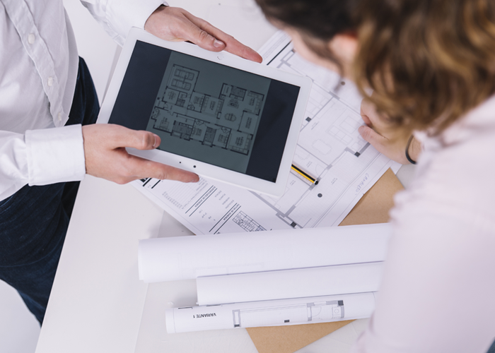
Our BIM coordination services integrate architectural, structural, and MEP systems to identify and resolve design clashes before construction. Using advanced clash detection and constructability analysis, we reduce errors and rework. With precise scheduling and industry expertise, we ensure efficient project execution. Contact Us
Scan to BIM is a transformative process that converts real-world structures into intelligent 3D digital models. Withthehelpof advanced laser scanning technology, we capture precise spatial data of buildings and infrastructure, enabling architects, engineers, and construction professionals to plan, design, and manage projects with exceptional accuracy.
At Conserve Solutions, we specialize in high-accuracy Scan to BIM services, ensuring seamless integration of architectural, structural, and MEP systems. Whether for new construction, renovations, heritage preservation, or facility management, our servicesimprove project efficiency, minimize errors, and facilitate collaboration between stakeholders.
The Scan to BIM process converts the physical attributes of a building or site into a data-rich 3D model. This innovative method eliminates the need for traditional tools like tape measures, offering a far more precise and efficient approach to capturing spatial data. Scan to BIM is often compared to 3D photogrammetry and can be integrated with augmented reality (AR) to provide immersive experiences.
A laser scanner captures data by emitting laser beams, creating a point cloud representing the scanned environment. This data is then imported into BIM software to generate a 3D model, integrating architectural, structural, and MEP components. This process enhances project accuracy and efficiency, particularly for renovation and retrofitting projects, enabling faster decision-making, reducing errors, and improving collaboration across design and construction teams.
How Conserve Can Help
Conserve Solutions offers high-precision Scan to BIM services using advanced methodologies and technology. They validate scanner positions, process individual scans, and register them to create a unified point cloud model. This data is processed and combined using software to create a unified point cloud model. The model is then integrated into BIM applications, CAD, GIS, or web platforms.
We start by using digital survey total stations to accurately position scanners for each area, ensuring precise measurements. Our digital survey total stations validate scanner positions for accurate point cloud modeling within 2mm to 5mm. Laser-scanning devices collect 360-degree laser measures of reflected surface points, measuring millions of points per second. Data is collected in-house after all scans are taken.
Our Approach to
Scan to BIM
Precision 3D Modeling
Converting laser-scanned data into accurate Revit models for architecture, structure, and MEP.
As-Built Documentation
Creating comprehensive as-built drawings for future planning, renovations, and redevelopment.
Parametric BIM Families
Developing smart BIM elements with embedded real-world information for enhanced analysis and simulation.
Facility Asset Management
Structuring data to support efficient facility operations, renovations, and extensions.
Seamless Data Accessibility
Organizing BIM files, PDFs, and drawings in structured directories for easy access and collaboration.
Applications of
Scan to BIM
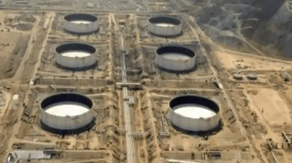
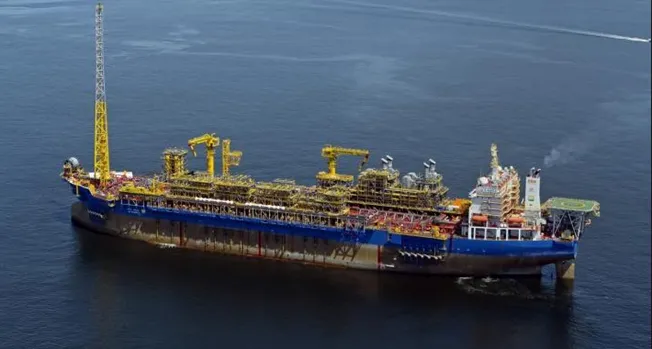
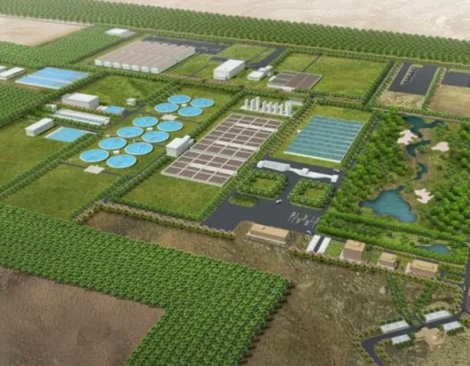
We support architects, engineers, contractors, and facility managers with precise BIM models for various applications, including:
Scan to BIM is a process that converts laser-scanned point cloud data from an existing building or site into a detailed 3D BIM model. This model accurately represents architectural, structural, and MEP elements for use in design, renovation, and facility management.
The process begins with laser scanning to capture precise spatial data, which is then processed into a point cloud. The point cloud is imported into BIM software to create a detailed 3D model that aligns with the physical structure’s specifications.
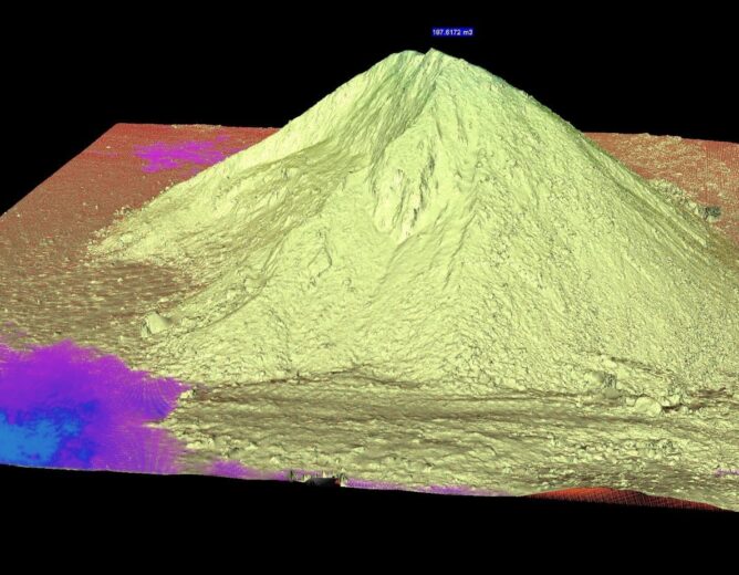
Laser scanning produces a point cloud, which is a dense collection of data points representing the scanned environment. This data is processed and converted into a detailed 3D BIM model.